
December 26-27th Snowstorm Retrospective & Verification
- JDJweather
- Dec 31, 2025
- 2 min read
The December 26-27th, 2025 Snowstorm played out very close to what we had predicted across many variables including timing, snowfall rates and total snowfall amounts. Let's take a brief look at some of these factors as the storm unfolded.
Timing:
We forecasted the first flakes to occur in the lower Hudson Valley and New Jersey in the late afternoon during the 3-5PM time frame. Snow broke out before 5pm in these areas and quickly became heavy. In Connecticut we forecasted the start time to be around 5-7PM and as the storm moved in, the first flakes did indeed fall closer to 5PM in far western CT, around 6PM in central CT, and eastern CT closer to 7PM. Some areas in far eastern CT did not see snow until after 7.

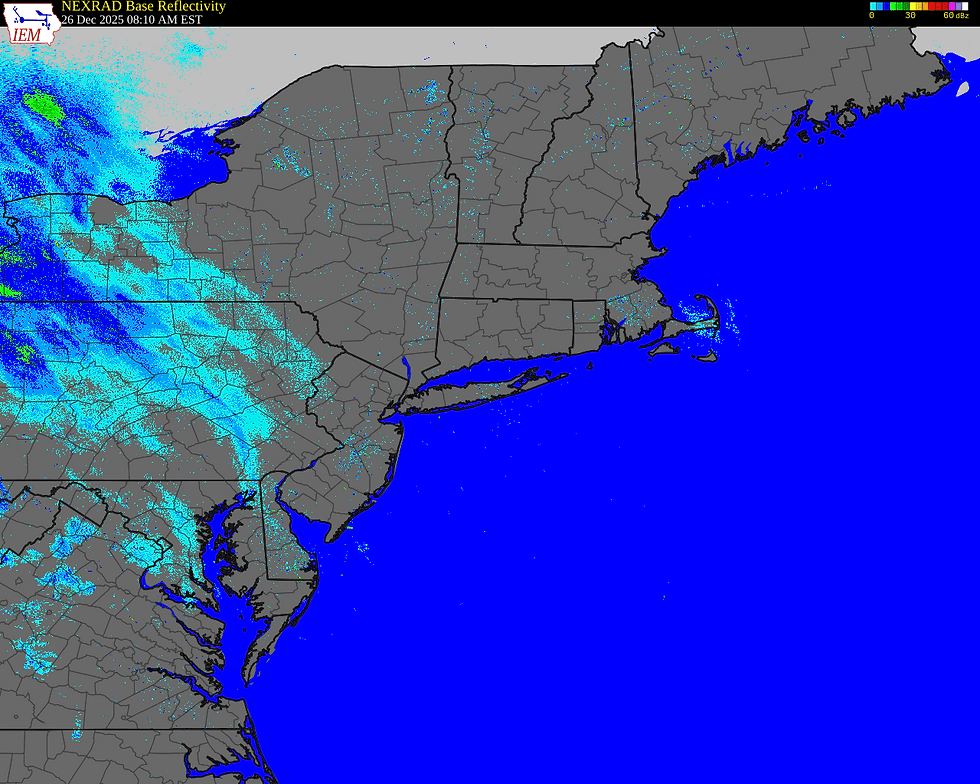
Rates:
Snowfall rates of 1-3" per hour during the late evening to around 10PM in eastern CT did materialize. In fact, there were some reports of even heavier rates than forecast upwards of 4 to even briefly 5" per hour. After this banding fell apart and light snow persisted after midnight to about 5 or 6AM. This was also well forecast as the bulk of the accumulating snow occurred within a short 3-4 hour window.

Snowfall Amounts:
Snowfall forecast amounts in CT were excellent with the ranges of 3-6 and 6-10" being the perfect fit for this system. The only area that fell slightly under our forecast was northern Hartford and Tolland counties were mainly 3-6" fell. Across Southern New England, the area of 3-6" of snow was a bit more expansive as the main area of snow (heavy banding) held together longer and progressed east. In Northern New Jersey and New York City we dropped amounts there to only 3-6" and ended up being one of the lowest forecasts out there for this area. This turned out to be the correct call as the best dynamics were north of that area and there was also a change over to sleet and freezing rain in Central New Jersey and southern portions of New York City. Here is the total snowfall map for CT vs. final forecast and a Tri-State/Southern New England view.


-JDJ


Comments